UAV’s built for maximum flight time & payload protection
We have over 10 years of engineering experience working with UAV's.

- Agriculture Drones are becoming key in driving innovation in agriculture. Read More
- Cinematography Most popular industries for Drone services is aerial photography and cinematography. Read More
- Forestry Drones play a vital role in collecting the required data utilising a wide range of sensors. Read More
- Logistics & Warehouse Drones can efficiently collate data to provide insight and visibility for Inventory Management. Read More

BuildKanon & Custom Builds
Whilst we are extremely proud of our Kanon range with its competitive performance durability and complete flexibility, we understand that there may be times where an operation requires additional or adapted functionality. We have the design and engineering capability to customise any aspect of the Drone including dimensions (size and weight), payloads (single or multiple), power, endurance and rotors.

MaintainServicing & Repairs
As well as selling our own range of Drones, our certified technicians also have the expertise to provide Drone servicing and repairs. Trusted by our clients and our world leading partners for over 10 years, we understand that contrary to manufacturing claims, all Drones should be serviced and inspected regularly to maintain optimum performance and airtime.

IntegratePayload (Sensors)
Putting your payload in the right place at the right time and then returning the data collected safely and reliably is the primary function of our Drones. The Drone itself is purely a platform to safely house the relevant sensor(s). Our Drones are all designed and built with the sensor(s) in mind, and we have a competitive advantage within our engineering team who understand the physics of payloads and Drones taking into consideration.

OperatePlan, Checks, Fly
Our CAA approved UAV operators can pilot your Drone for a number of commercial uses. As well as understanding the complex regulations surrounding UAVs and with several years’ experience piloting Drones, each member of our team has taken part in extensive training, giving you peace of mind that your mission is in safe hands.

Regulatory
& Compliance
Drone Laws & Regulations can be tricky to interpret and without effective preparation, it can be easy to end up contravening the rules. In the UK, commercial Drone operations are heavily legislated for by the Department of Transport and regulated by the Civil Aviation Authority (CAA). For any aircraft over 250 grams you need certifications for the pilots and registration of the Drones and operating companies.
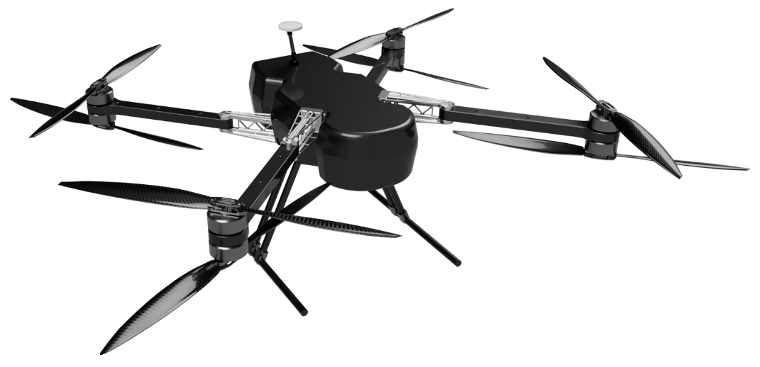
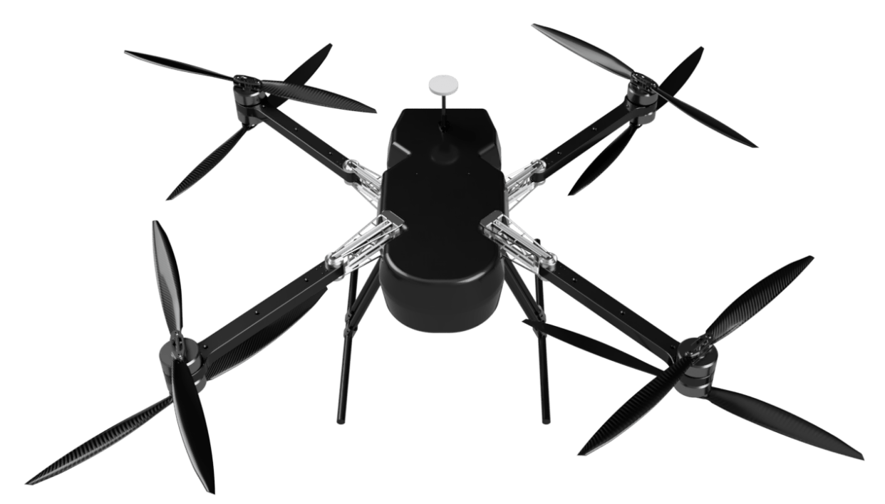
Know MoreOur UAV's
- Under 25kg
- CE Stamped
- Class Identification Alignment: C0 – C5
- Weatherproof
- 8 Motors x 1000W 58V
- Quad Coaxial Rotors with redundancy
- Max speed 75 km
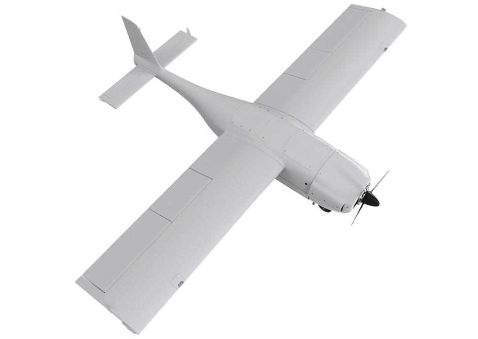
Our Staerk range S1- S3 is our VTOL Fixed wing range for long range endurance flights
- Has redundant motors, batteries and flight controllers for maximum protection of the Drone and any sensors carried
- Has vertical take off and landing capability (VTOL) to eliminate the need for runways
- Is fully weatherproof
- Employs bespoke sensor integration
- Advanced data processing
Class identification is a new UK / EU initiative to demonstrate a minimum flight safety capability. This legislation has been agreed but delayed in implementation (expected 2026 in the UK and sooner in the EU). Our drones are built Classification ready so they can be classified at a later date to conform with regulations.
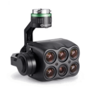
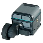
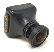
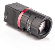
Wide Range of Sensors
There are an almost unlimited number of sensor(s) that can be integrated with our Drones and we are happy to discuss any custom requirements you may have. However the following sensors are commonly used in our Drone missions:
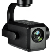
UHD Video/Stills Capture
Up to 8k video and stills, used stand alone or in conjunction with other sensors to give the pilot a Drones eye view.
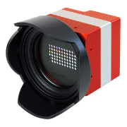
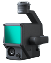
Hyper Spectral
The capture of imagery across very narrow wavelength bands to distinguish between different mineral deposits that would be invisible to the human eye or to identify invasive plant species.
NDVI
Normalised Difference Vegetation Index’, specialised camera sensors that detect plant vigour by identifying and quantifying the presence of green vegetation using reflected light. They’re popular in agriculture to increase efficiency and improve yields.
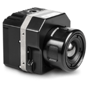
Thermal Imaging
Detect temperature or heat and display an image to represent the temperature gradient from high (red) to low (blue).
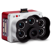
Multi-Spectral
The capture of imagery across multiple well defined wavelength bands to distinguish between invasive plant species that look the same in visible light.
Ground Penetrating Radar
Using radar pulses to create images of the subsurface.
LiDAR
Light Detection and Ranging’ uses rapid laser pulses to collect data that can be utilised to create 3D models. Ideal for land surveying, digital terrain modelling, forestry & inspections.
SIF
When light is absorbed by chlorophyl molecules, a small amount is re-emitted at longer wavelengths called ‘Solar Induced Fluorescence’. Used in agriculture to measure photosynthesis activity in crops.
NIR Spectral
NIR spectroscopy is a method that makes use of the near-infrared region of the electromagnetic spectrum (from about 700 to 2500 nanometers).
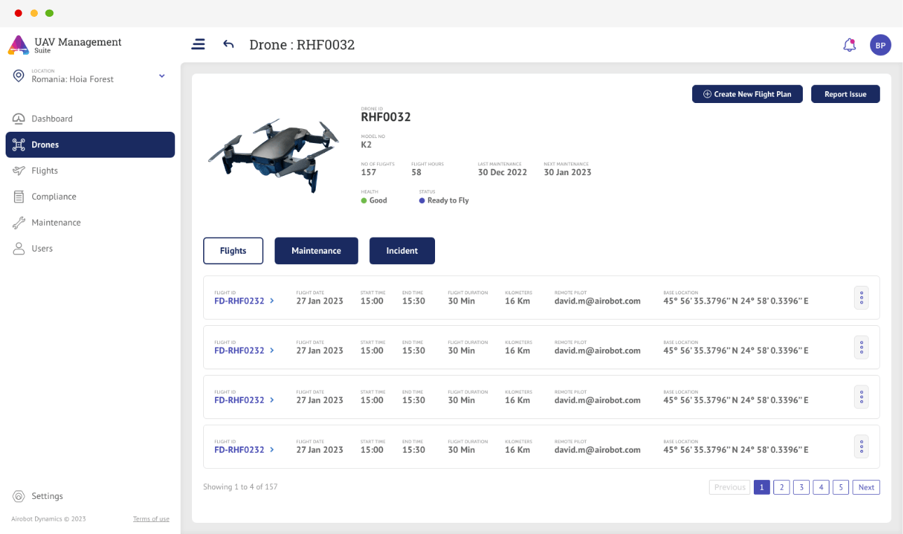
Our UAV
Management Suite
Along with our services and drones you also get access to our UAV Management suite, from which you can manage your drones, View its health, History of Maintenance and parts replacement, Incident management, Flight Records along with In depth data, Monitor Payload data. Create Flight Plans and clear approvals etc.
Key Partners