Integrate
Payloads & Sensors
Putting your payload in the right place at the right time and then returning the data collected safely and reliably is the primary function of our Drones. The Drone itself is purely a platform to safely house the relevant sensor(s).
Our Drones are all designed and built with the sensor(s) in mind, and we have a competitive advantage within our engineering team who understand the physics of payloads and Drones taking into consideration:

Speed & Efficiency
Flight Duration
Weight Limitations
Power Consumption
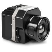
Sensor(s) Integration
Payload Protection
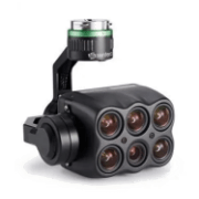
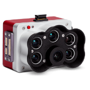
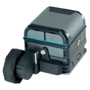
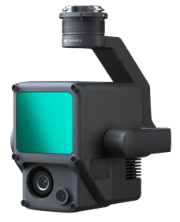
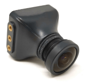
Wide Range of Sensors
There are an almost unlimited number of sensor(s) that can be integrated with our Drones and we are happy to discuss any custom requirements you may have. However the following sensors are commonly used in our Drone missions:
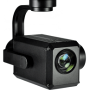
UHD Video/Stills Capture
Up to 8k video and stills, used stand alone or in conjunction with other sensors to give the pilot a Drones eye view.
Hyper Spectral
The capture of imagery across very narrow wavelength bands to distinguish between different mineral deposits that would be invisible to the human eye or to identify invasive plant species.
NDVI
Normalised Difference Vegetation Index’, specialised camera sensors that detect plant vigour by identifying and quantifying the presence of green vegetation using reflected light. They’re popular in agriculture to increase efficiency and improve yields.
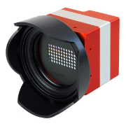
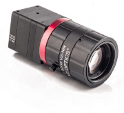
Thermal Imaging
Detect temperature or heat and display an image to represent the temperature gradient from high (red) to low (blue).
Multi-Spectral
The capture of imagery across multiple well defined wavelength bands to distinguish between invasive plant species that look the same in visible light.
Ground Penetrating Radar
Using radar pulses to create images of the subsurface.
LiDAR
Light Detection and Ranging’ uses rapid laser pulses to collect data that can be utilised to create 3D models. Ideal for land surveying, digital terrain modelling, forestry & inspections.
SIF
When light is absorbed by chlorophyl molecules, a small amount is re-emitted at longer wavelengths called ‘Solar Induced Fluorescence’. Used in agriculture to measure photosynthesis activity in crops.
NIR Spectral
NIR spectroscopy is a method that makes use of the near-infrared region of the electromagnetic spectrum (from about 700 to 2500 nanometers).
Key Partners


Thank you for your message, we will get back to you soon.
Oops!, There was a glitch. Please email us at info@anyaconsultancy.com